Directions to Salem and the Museum
click here for detailed maps
By Car:
|
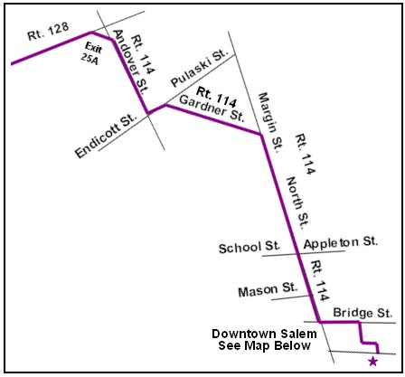
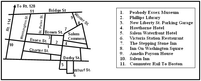
From 128 To Museum- Take exit 25A for Route 114 East to Salem. Keep an eye on that 114. Follow the signs as it turns. As you enter Salem, you will also start to see signs for the Peabody Essex Museum. Approximately one mile after entering Salem, you will cross an overpass. As you come off the overpass, take the exit on your right. This puts you on Route 107/Bridge St. Go straight through the light and take your second right, onto St Peter St. Go left at the stop sign and right onto New Liberty St. The museum is straight ahead.
|
 |
Salem is about a half hour train ride from Boston. Take the MBTA Commuter Rail (Newburyport/Rockport line) from Bostons North Station or other points, to Salem station - just a five-minute walk from the museum. Go up the steps to street level, cross Bridge Street, and walk down Washington Street. Go left on Essex St. to the end of the pedestrian mall. Information about the MBTA subways (the "T") and commuter rails can be found
here. Please note, the last train to Boston leaves at 10:38PM on Sundays.
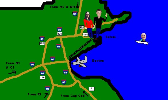
By Air:
The closest airport to Salem is Boston's Logan Airport (airport code BOS). Alternatively, you can fly into Manchester, NH (airport code MHT), located about an hour away from Salem.
By Foot:
Once in Salem most things are easily accessible by foot. Note the updated map below showing the relation of the Peabody Essex Museum to the Philips Library across the street.
Home
| Dating Pics
| Wedding Pics
| Baby Pics
Grandpa's Waltz
| Sightseeing
| Boston
| Contact Us